The Crossing Places by Elly Griffiths

 The Crossing Places cover

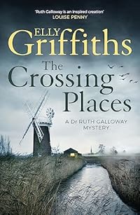
The Crossing Places by Elly Griffiths was published in 2010 and the setting is Norfolk.

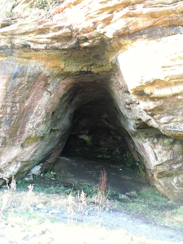
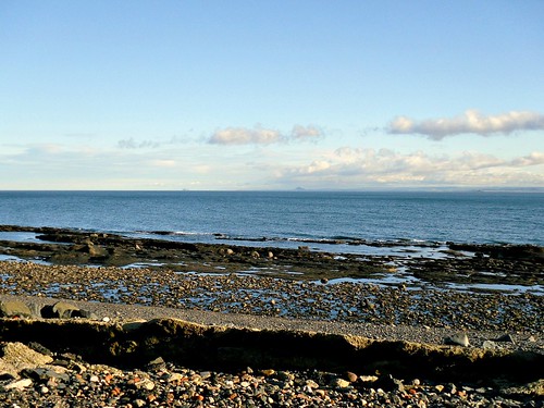
Dr Ruth Galloway is an archaeologist, she lives in a cottage in Saltmarsh, a very remote area, she lives in one of only three cottages there. People can’t believe she wants to live in such a desolate place but it’s a special place for her, close to where there had been an important archaeological dig where a sacred henge had been found in the mud.

Ruth is asked by DCI Harry Nelson to examine some bones that have been found on the beach. It’s thought they might be the remains of a young girl who had disappeared ten years previously. Thankfully carbon dating proves that the bones are very ancient, but when another young girl disappears Ruth finds herself being dragged into danger.

This is the first book in a series and I’ll definitely be reading the next one. It’s the first book by Elly Griffiths and my only gripe is that she didn’t quite distance herself enough from reality. There is mention of Time Team, inevitably where archaeology is concerned and the author gave two of the archaologists the same names as the main guys in Time Team – Phil and Mike, okay it’s Mick in Time Team, but one has wispy red hair and hat, I’m sure you recognise him if you’re a Brit, we’ve all become armchair archaeologists through that programme. There’s also a druid in flowing robes and I certainly remember him turning up on Time Team and rightly complaining about their lack of respect for the ancestors. Thankfully nobody was wearing a crazy striped jersey. She also obviously got her idea for the book from the news too, something writers often do, I must admit.

If you are in the US or somewhere else that doesn’t have Time Team you might be able to get a glimpse of it below, but it may be blocked.

The Wemyss Caves, Fife, Scotland

Walking is our main way of getting exercise but you get a wee bit fed up going to the same places all the time, so a couple of Saturdays ago we ended up going to East Wemyss (pronounced Weems) just for a change of scenery. Actually we started off in West Wemyss then went on to Coaltown of Wemyss and ended up at East Wemyss which is the location of the Pictish caves which are generally known as the Wemyss caves.

This is all part of the Fife Coastal Path as you can see from the map board. This area was mined for coal until quite recently and linen was also made here.

Map board at Wemyss, Fife, Scotland

The photo below is of the side of a rock face on the shore, but it isn’t solid rock, there’s a cave behind it, with the cave mouth facing out to the sea.
Rock face at East Wemyss.

THis is the cave which is in the rock and it’s one of a series of caves which were in use as long ago as Pictish times. There is some cave painting in some of them and it’s thought that they were not used as homes but were more likely workshops, possibly for people working with silver. The cave is actually much bigger than it looks here, it’s a deep and very high cavern. Apparently the Picts had warmer, drier homes nearby, which is just as well because as these ones are right by the sea they would have been very draughty and absolutely freezing at the best of times.

Wemyss cave

This is one of the smaller caves but it isn’t so easy to get to as it’s quite high up on a bank.
Wemyss Cave, Fife.cave

And the photos below are of the view which they had from the caves, I don’t suppose it will have changed much in the thousand years or so since the Picts inhabited the place.
seascape

You can just see the Bass Rock on the left in the photo below if you click on it to enlarge it. The rock is home to thousands of seabirds, and nearer the middle is North Berwick Law.
seascape

Time Team had a dig around the area a few years ago and if you’re interested you can see photos of what they got up to here.